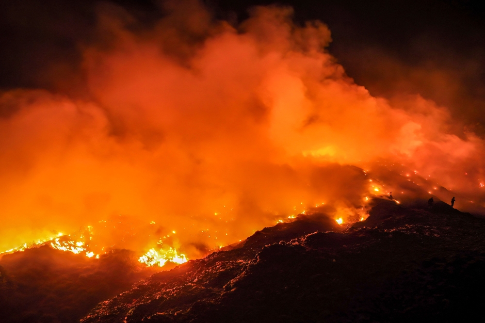
Indonesia's wildfires burn area 18 times size of London, surpassing 2019 total
ملخص مفصل
Fires in Indonesia driven partly by a strong El Nino have burned through 2.88 million hectares (7.1 million acres) so far in 2026, a monitor analysing ...
JAKARTA, Nov 11 — Fires in Indonesia driven partly by a strong El Nino have burned through 2.88 million hectares (7.1 million acres) so far in 2026, a monitor analysing satellite imagery told AFP today.
The burned area figure — 18 times the size of London — has increased nearly a million hectares since deforestation monitoring site Nusantara Atlas’s last update in September.
Indonesia’s government has not provided official figures for areas burned since announcing 202,000 hectares had been razed by the end of July.
The burning detected in analysis through the end of October is a conservative estimate, warned Nusantara Atlas founder David Gaveau, in part because smoke has obscured satellite images.
But it already exceeds the full-year figure for 2019, previously the worst year on record in Nusantara Atlas data.
Indonesia also experienced devastating fires in 2015, but the satellite imagery used then was different, making a direct comparison difficult.
The arrival of rain has brought some of the worst blazes under control, and monitoring shows the number of so-called hotspots starting to flatten or decline.
But the figure for total burned area is likely to rise further given some fires are still burning, and as burn scars previously hidden by smoke become visible to satellites in coming months.
Indonesia’s government previously said it needed more time to analyse data before issuing updated figures. AFP has asked for comment on the monitor’s latest data.
مطلع المقال، مقتطف من Malay Mail. لقراءة المقال كاملًا، افتحه على موقع الناشر.
يعرض MarketNews العنوان والملخص كما نشرتهما الوسيلة الإعلامية. المقال الكامل متوفر على موقع الناشر. (www.malaymail.com)