Indonesia forest fires burned through nearly 2.9 million hectares
ملخص مفصل
The burned area figure -- 18 times the size of London -- has increased nearly a million hectares since deforestation monitoring site Nusantara Atlas's last update in September.
Your browser is out of date, and may not be compatible with our website. A list of the most popular web browsers can be found below. Just click on the icons to get to the download page.
The burned area figure -- 18 times the size of London -- has increased nearly a million hectares since deforestation monitoring site Nusantara Atlas's last update in September.
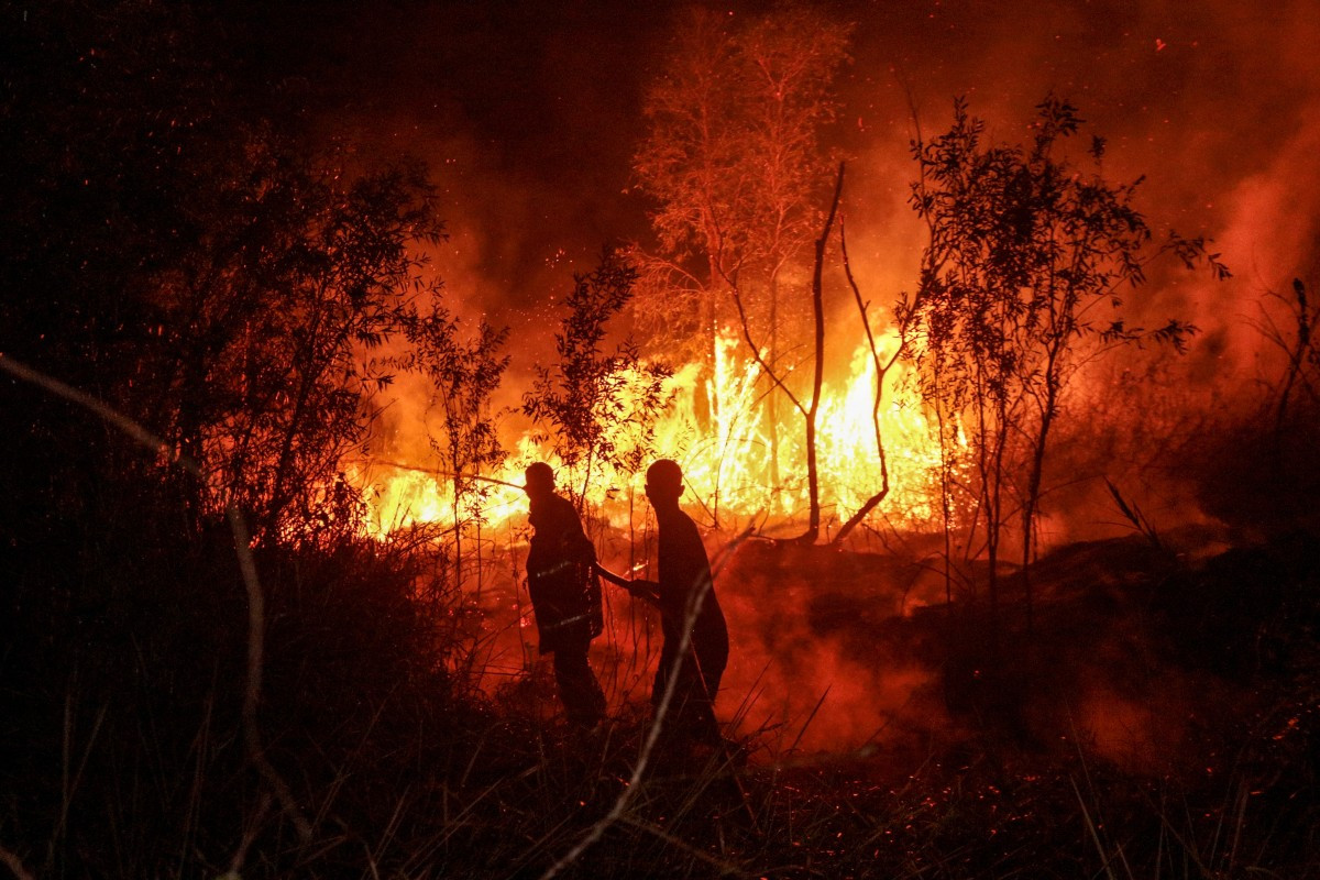
ires in Indonesia driven partly by a strong El Nino have burned through 2.88 million hectares (7.1 million acres) so far in 2026, a monitor analysing satellite imagery told AFP on Wednesday.
The burned area figure -- 18 times the size of London -- has increased nearly a million hectares since deforestation monitoring site Nusantara Atlas's last update in September.
Satellite data from Nusantara Atlas showed recently that Indonesia's cumulative burned area was 895,650 hectares (2.2 million acres) in August, and jumped to 1.92 million hectares (4.74 million acres) by the end of September.
That surpassed the 1.39 million hectares cumulatively burned at the same point in 2019, a year when fires ultimately scorched 2.63 million hectares of land
There were 1.15 million fire hotspots across Indonesia as of October 20, according to the Nusantara Atlas fire map
The government has not provided official figures for areas burned since announcing 202,000 hectares had been razed by the end of July.
Delivered straight to your inbox three times weekly, this curated briefing provides a concise overview of the day's most important issues, covering a wide range of topics from politics to culture and society.
مطلع المقال، مقتطف من The Jakarta Post. لقراءة المقال كاملًا، افتحه على موقع الناشر.
يعرض MarketNews العنوان والملخص كما نشرتهما الوسيلة الإعلامية. المقال الكامل متوفر على موقع الناشر. (www.thejakartapost.com)