The Super El Niño has officially arrived - and already brought weather chaos with it
ملخص مفصل
The climate pattern has already sent ocean temperatures soaring, brought deadly flooding and led to the deaths of thousands of seabirds
Want to bookmark your favourite articles and stories to read or reference later? Start your Independent Membership today.
The super El Niño is officially here, NOAA's Climate Prediction Center announced Thursday.
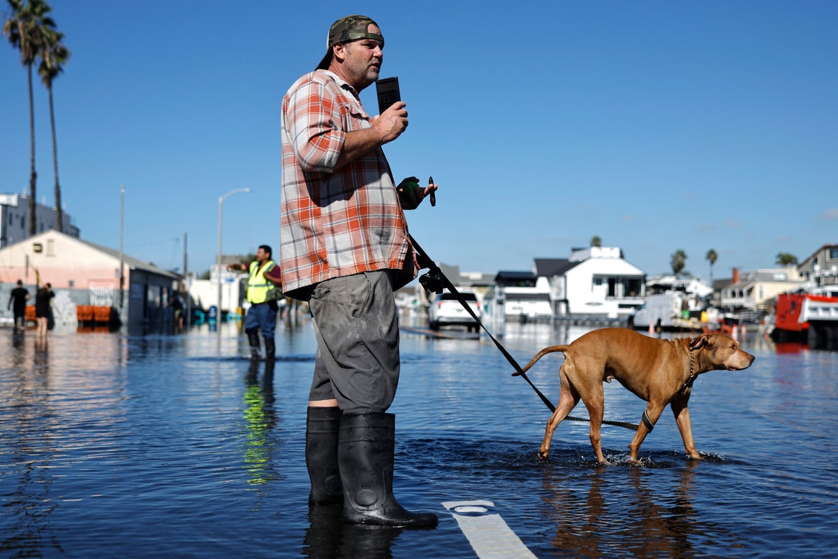
Water temperatures in the Pacific Ocean reached the threshold needed for the designation, rising to at least 0.5 of a degree Celsius (0.9 of a degree Fahrenheit) above average for three consecutive months. The natural climate pattern has been in effect since late spring, leading to historic flooding in the southern U.S. and impacting massive ocean swells along coastlines.
But the U.S. hasn’t seen the worst of its impacts yet, with more coming through the spring.
“El Niño continues to strengthen, with a strong-to-very strong El Niño likely through January-March 2027,” NOAA said.
This weekend, Americans from coast to coast are facing wet weather. A Pacific storm is expected to dump more rain on the West as a nor’easter affected by the subtropical jet stream continues to hammer the Northeast.
El Niño makes conditions for major storms - including nor’easters - more likely and increased storm activity is anticipated early next year, FOX Weather says.
“This El Niño winter may feature more than twice the normal amount of strong East Coast storms, with 19 forecast compared to a normal of nine by ECMWF,” Ben Knoll, a meteorologist, said Thursday on social media.
The El Niño is a climate pattern that occurs when east-to-west trade winds weaken over the Pacific, allowing warm water to shift eastward.
مطلع المقال، مقتطف من The Independent. لقراءة المقال كاملًا، افتحه على موقع الناشر.
يعرض MarketNews العنوان والملخص كما نشرتهما الوسيلة الإعلامية. المقال الكامل متوفر على موقع الناشر. (www.independent.co.uk)